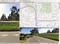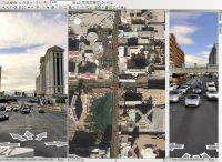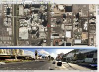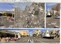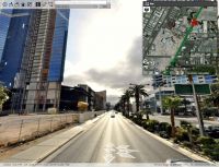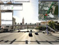
StreetEngine™ is a complete end-to-end solution for collecting 3D street level imagery, developing applications, and delivering visually impressive and spatially accurate results for your consumers. StreetEngine offers multiple solutions: A complete stand-alone viewer for navigating street level data with a comprehensive toolset as well as powerful extensions for AutoCAD and ArcGIS Desktop allowing you to connect to your design drawings and geodatabases so you can visualize abstract geospatial data in context with your existing workflows.

